Sehel Island (Egyptian: Setjet, Greek: Satis)[1] is an island that is located roughly halfway between the city of Aswan downstream and the Aswan Low Dam upstream.[2] It was situated below the First Cataract and governed under the first nome of Upper Egypt.
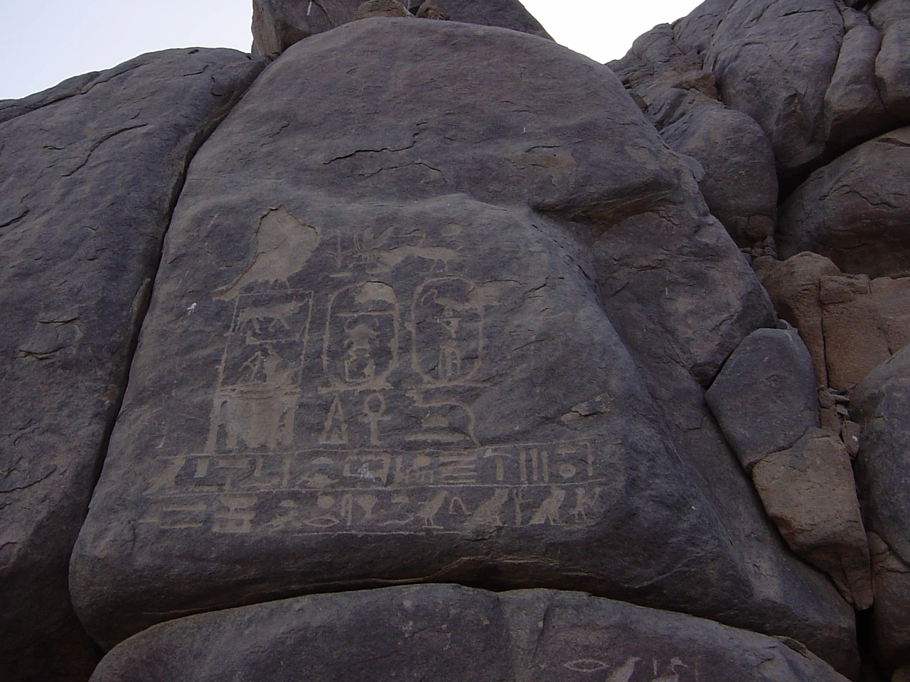
Sehel inscription on a boulder from Thutmose I.
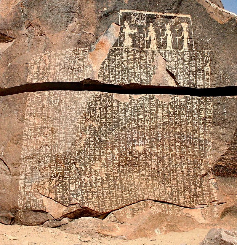
Sehel has many archaeological sites, including sacred places, such as a temple dedicated to Anuket.[citation needed] The island was also home to a stone quarry for granite used during various Ancient Egyptian eras and there are many inscriptions left on the island's granite boulders. Several of these inscriptions record ancient historical events. One of these is the Famine Stela, which is of Greco-Roman origin, but claims to record events from the time of Djoser and Imhotep.[citation needed]
The Famine Stela on Sehel Island.
An altar bearing the name of Pharaoh Sobekhotep III of the Thirteenth Dynasty was found on Sehel Island.[3][4]
References[]
- ↑ trismegistos.org
- ↑ Baines & Málek 2002, p. 71-72 (maps).
- ↑ MacAdams 1946, p. 60, pl. VIII.
- ↑ Wild 1951, p. 12-16.
Bibliography[]
- Baines, J./Málek, J., 1980: Atlas of Ancient Egypt. Equinox (Oxford), Ltd.
- MacAdams, M.F.L., 1946: Gleanings from the Bankes MSS. In: Journal of Egyptian Archaeology, Vol. 32.
- Wild, H.A., 1951: A Bas-Relief of SekhemRe-Sewadjtowe Sebkhotpe. In: Journal of Egyptian Archaeology, Vol. 37.